hot topics

How does satellite navigation work?

How does satellite navigation work?

To understand the various applications of satellite navigation better, it is necessary to understand how a satellite based navigation system works. Eschewing all high-tech details, an attempt to explain the fundamentals in a layman’s language is certainly a tall order. This write up is based on the US-based GPS system, which is one of the best in service. The GPS uses 24 active satellites going around the earth all 24 hours of the day. They orbit the earth twice in a day. They orbit at an altitude of 20,000 km above the surface of the earth, inclined to the earth’s equator at 550. This setup ensures that each of them is always in sight of at least half a dozen others while only 3 are required to make an accurate fix of one’s position. This is one of the three segments, the space segment. The second, a ground based segment called the Master Control system is an intricate network of antennas, monitors, and control stations. The third segment is with the receiver which is always with the user. Triangulation is a trigonometric operation to find out one’s location and one which the old-world navigators used. One would need a map of the area and a compass too.
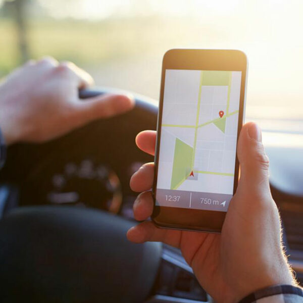
4 popular apps for tracking interstate traffic conditions

4 popular apps for tracking interstate traffic conditions

Being stuck on the interstate highway due to traffic can be a tremendously maddening experience. But you can effectively avert this situation by using navigation apps projecting real-time interstate traffic conditions. The most prominent advantage of being aware of the interstate traffic conditions is that it can help you save a lot of time. This is because with the support of these apps you can plan your journey with ease, and you also have an option of choosing alternative routes if your preferred course is jammed. Here are some of the popular navigations apps which will prove to be great companions for your next long-distance journey! Waze If you are looking for practical as well as a fun app, then you can try using Waze. The app allows the users to update the metropolitan and interstate traffic conditions. For instance, if you discover a lot of traffic on route X then you can put up an alert on the Waze app. This will inform the users who are headed in the same direction. This can be extremely useful on the busiest interstate highways, however, in remote areas you might not get frequent traffic updates. The app also learns your frequent destinations, so the more you use it, the more accustomed it gets with your traveling habits.